Services
Image description

SAPPHIRE GEOCONSULTANTS 

              Innovation and Reliability


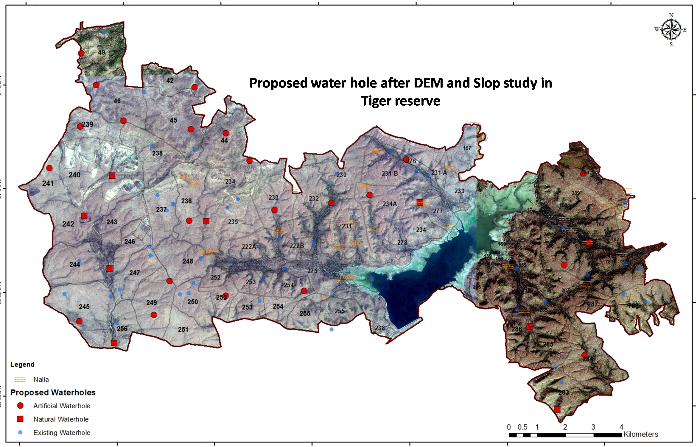
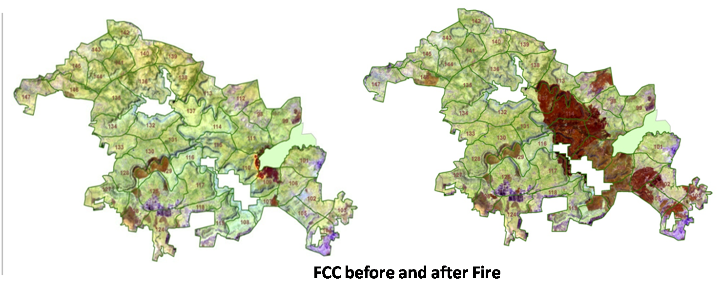
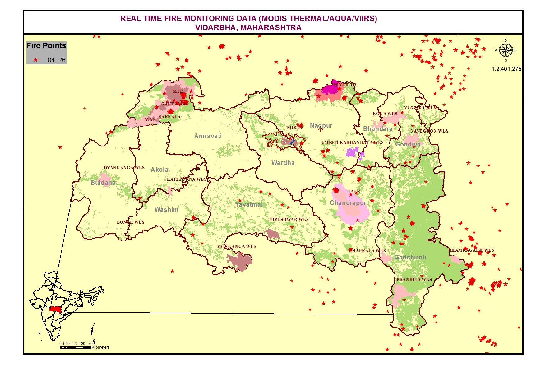
Use of Spatial technology as a effective effective tools for better result and clarity of project.

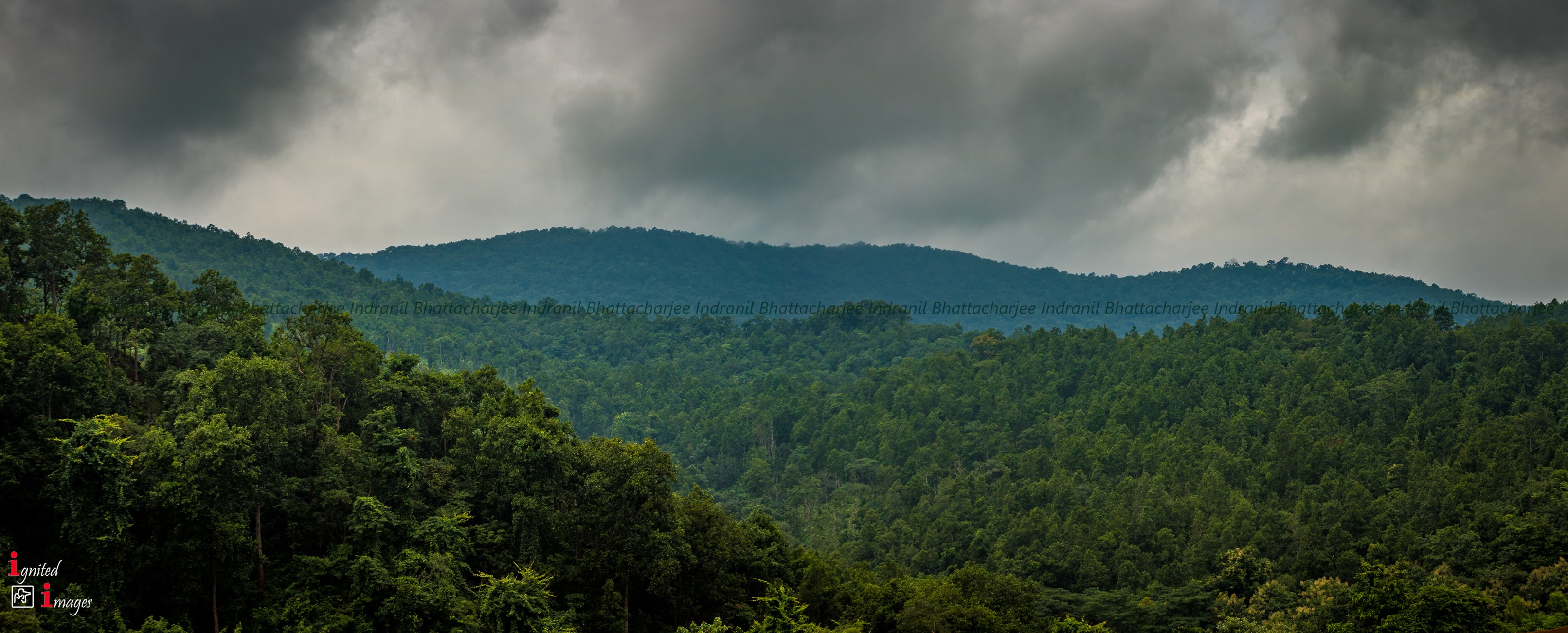
                                                  Forestry and Environment    


      Environmental

  • Preparation of Base Map
  • Landuse/Landcover Mapping
  • Identifying sites for eco-restoration
  • Change detection studies
  • Geomorphological mapping
  • Hydro-geological mapping and analysis
  • Preparation and maintenance of Database for EIA Studies
Image description


        Forestry

  • Forestry GIS Management and suitable livelihood development
  • DEM / DTM modeling and 3D model creation for vegetation height measurement
  • Corridor Mapping,
  • Biodiversity mapping
  • Change detection studies of forest management,
  • Water hole/ Dam site selction
  • identifying sites for eco-restoration,
  • Fire mapping   
    1. Classification for Forest Fire Monitoring
    2. Identification of Burnt Areas
    3. Burn Severity Mapping
    4. Post Fire Scenario Mapping


Image description
Image description
Image description

Sapphire Geoconsultants @2013 I ALL RIGHTS RESERVED

Follow US
Follow US
Join Us
Share
Image description